Sydney’s Bondi Beach was last week the site for surveying the first data point in an ongoing monitoring program. The Eastern Beaches monitoring program will encompass all ocean beaches from Bondi to Maroubra and will examine the morphodynamic processes of short embayed beaches, where headlands are a dominant forcing control on incoming wave energy.

Surveying at Bondi. From left, Mandi with the controller, Jordan with the rover, Jak pointing purposefully at the sky

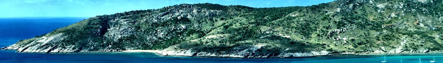
Profiles were taken down to about knee depth at spring low tide, this one is at the north end of Bondi
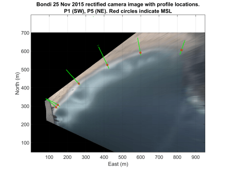
The beach survey data will be combined with camera imagery taken from a security camera perched 55 m ASL atop the Astra Retirement Village at the south end of Bondi. This camera has been taking approximately 30,000 images per day since 2011. The image below shows a time-averaged, rectified image from the camera on the day of the survey, overlaid with our five profiles (green lines). Note that the time-averaged image highlights surf zone bars and channels as white and dark areas, respectively.